Core Service
3D Scanning & Spatial Data
One accurate 3D capture becomes the foundation for your virtual tour, Google Street View, floor plans and engineering data. Adelaide based, captured with the Matterport Pro3

One Capture, Many Outcomes.
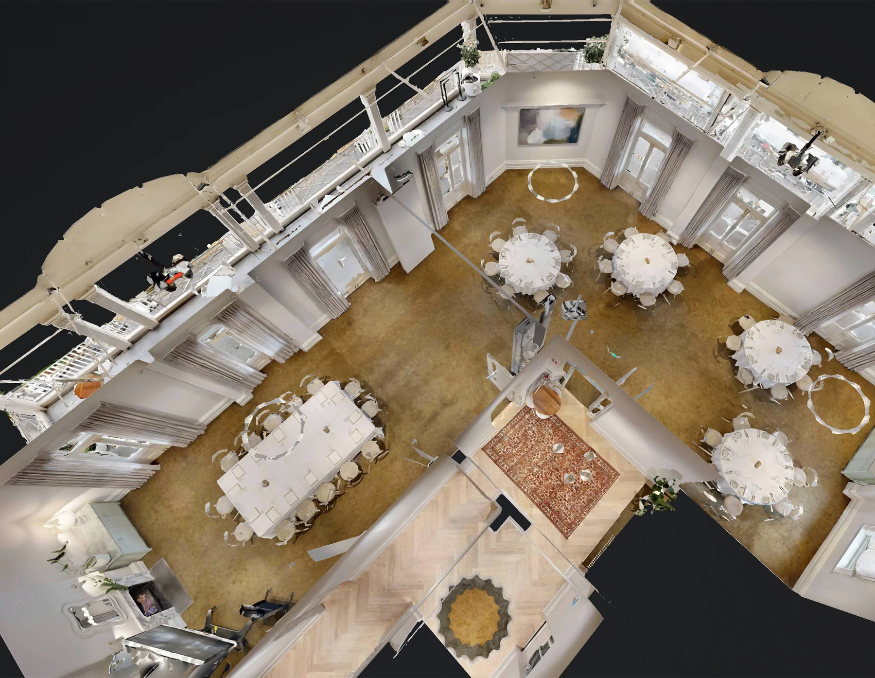
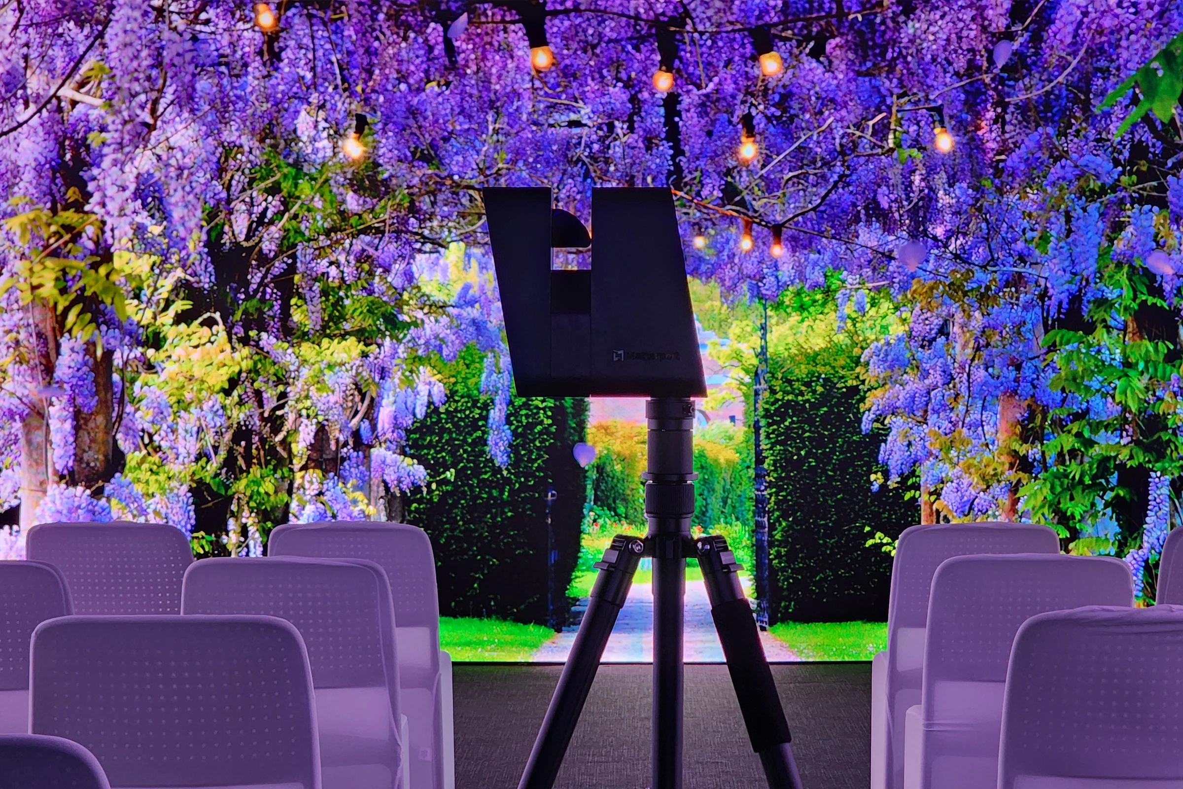
We turn your venue into an accurate 3D digital twin in a single on-site visit, using the Matterport Pro3 LiDAR camera (±20mm at 10 metres). That one scan becomes the foundation everything else is built on.
What we deliver
Centimetre-accurate 3D capture of your space, measured on site with the Pro3.
A complete 3D virtual tour you can share and embed.
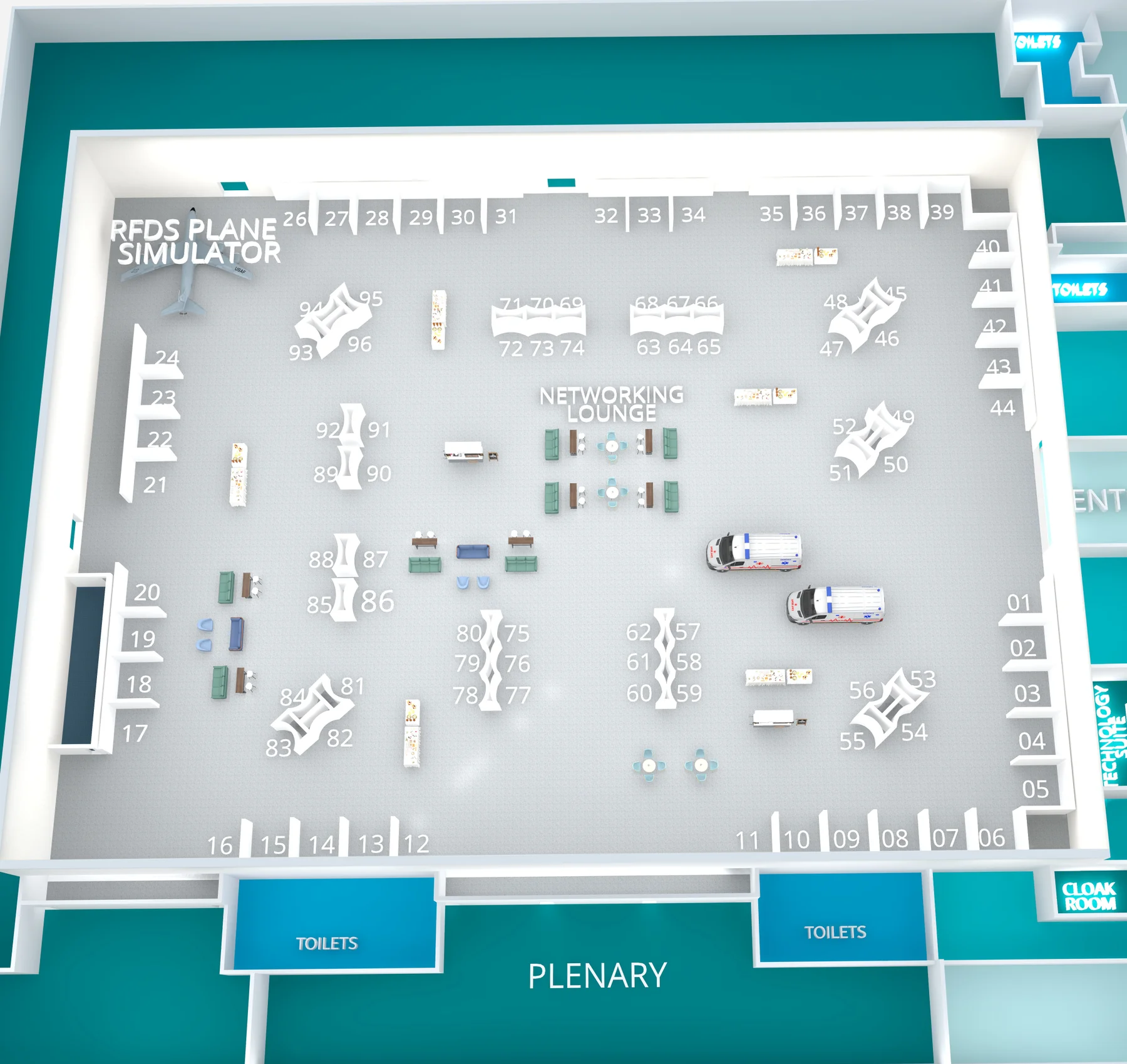
Your Google Maps and Street View imagery, accurate floor plans, and engineering outputs (E57 point clouds, BIM models, 2D CAD, MatterPaks, and TruePlan for Xactimate) — all drawn from the one scan.
The same dataset also powers virtual staging, training environments, and measured accessibility guides.
Why it pays off
One accurate scan opens up many outcomes. Because every deliverable is built on the same capture, you skip repeat site visits and the disruption of multiple contractors, and the digital twin stands on its own as a permanent, measurable record of your space for insurance and facilities documentation.
Proven execution
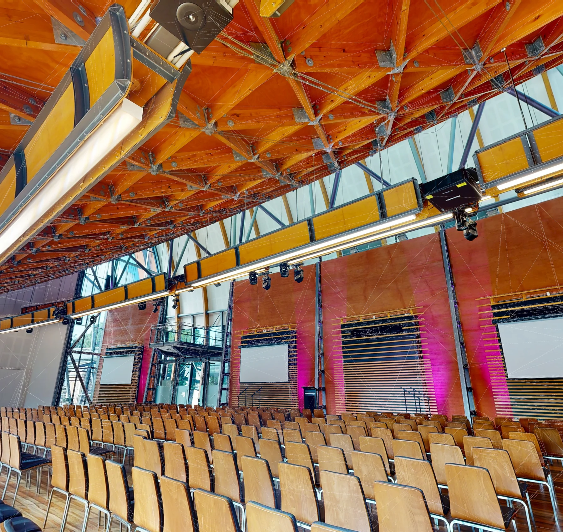
We have delivered this capture-first approach for major South Australian venues including Adelaide Oval, Her Majesty’s Theatre and the National Wine Centre of Australia, and as a Matterport capture partner since 2021 we work across the APAC region.