Commercial Real Estate
Architectural & Engineering Data
Accurate structural documentation from a Matterport Pro3 capture: E57 point clouds, BIM and CAD files, MatterPaks, and TruePlan for Xactimate.
Architectural and Engineering Data.
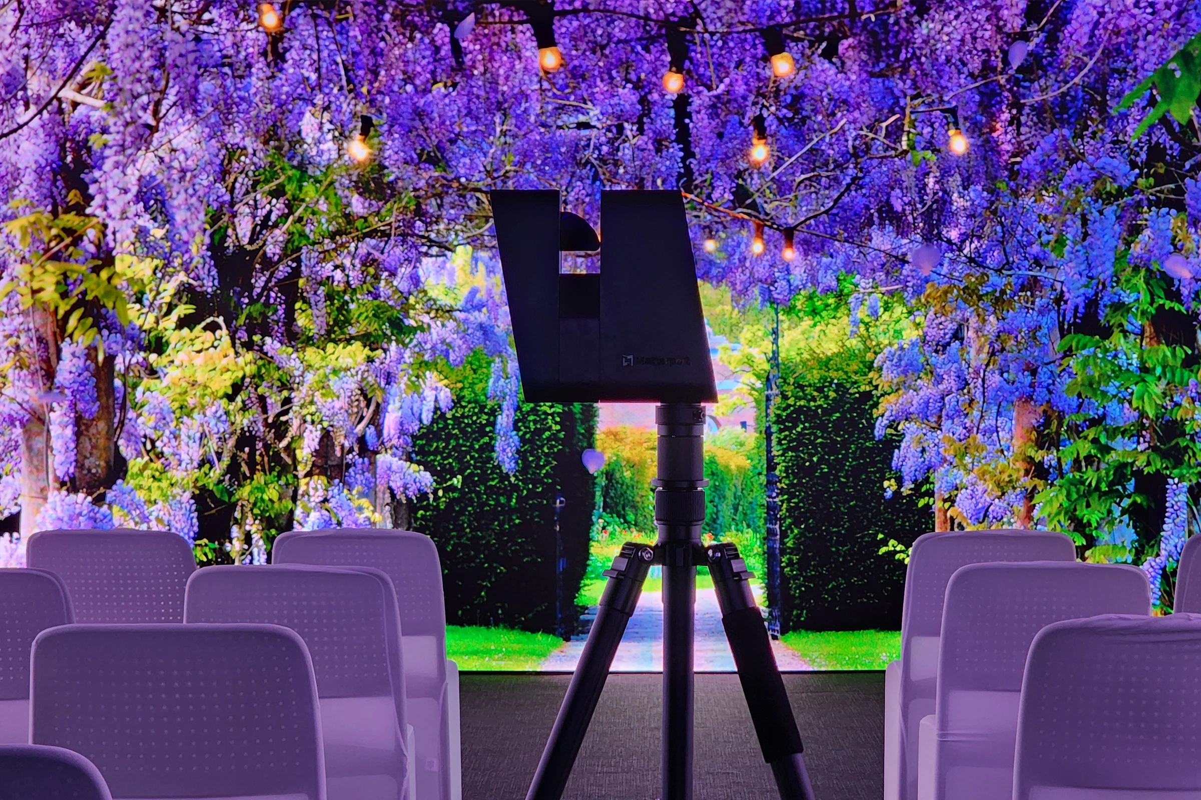
Accurate structural documentation for your project, drawn from the same capture as your digital twin. The Matterport Pro3 measures to ±20mm at 10 metres (Matterport), giving detailed data to support design, drafting and engineering workflows. Where you need survey-grade tolerances, we will tell you honestly when a dedicated laser scanner is the better tool.
What we deliver
E57 point clouds: vendor-neutral, capturing fine detail like structural steel, conduit and piping.
BIM and CAD files: 3D Revit (.RVT), .IFC and 2D CAD to speed up design and construction.
MatterPak bundles: colourised point clouds, 3D mesh files and reflected ceiling plans.
TruePlan for Xactimate: as-built .SKX files for insurance restoration work.
Why it pays off
We match capture density to your specification (standard, medium or high-density LiDAR). The files import into construction platforms such as Autodesk Construction Cloud and Procore. A digital data model reduces manual surveying error, surfaces spatial clashes early, and cuts repeat site visits. In commercial property, Matterport reports listings with a 3D tour sell up to 31% faster and generate up to 403% more leads (Matterport).
Proven execution
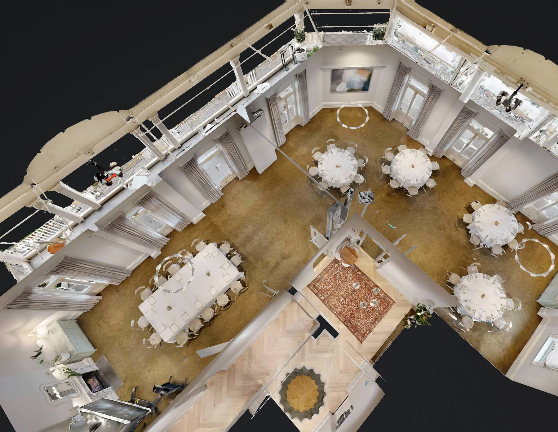
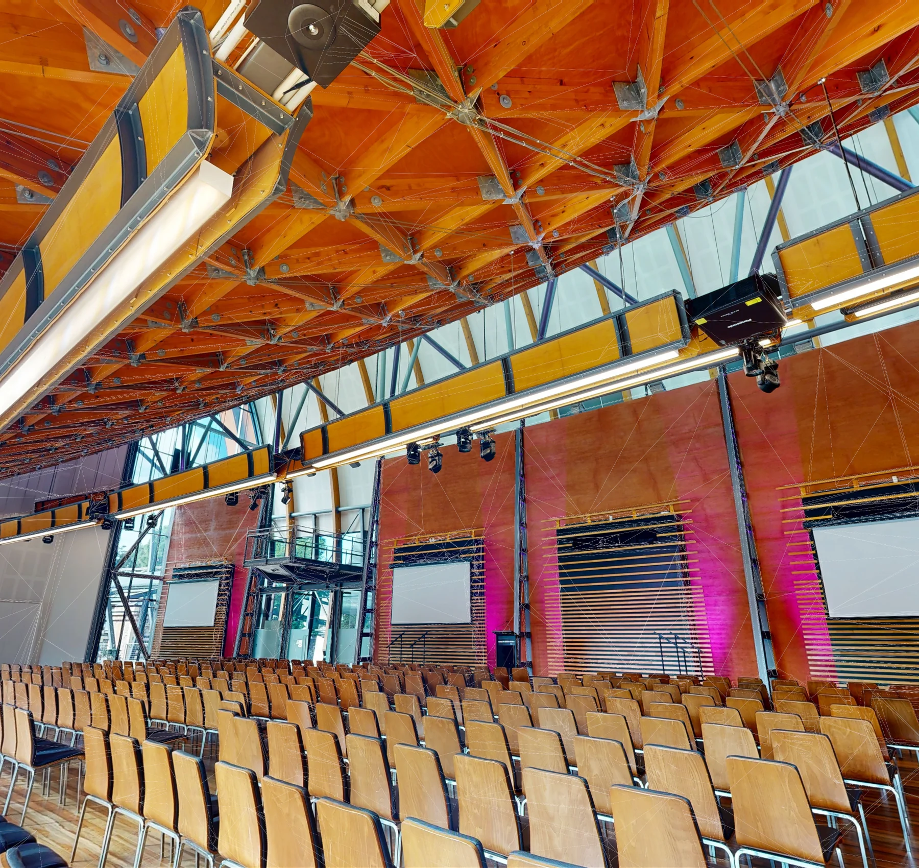
We provide structural and point-cloud data across the South Australian commercial property sector. At Adelaide Oval, we captured the venue’s function rooms and supplied E57 point clouds and OBJ mesh files, which the Oval’s audio-visual supplier, Scene Change, imported into Vectorworks to plan and stage events.
Further reading
Visit Matterport technical documentation for detail on MatterPak and spatial data outputs.
Live example
William Magarey Room .OBJ file from Matterpak - low density scan